Please be patient...
We are in the process of confirming your booking.
Je wordt binnen enkele seconden doorgestuurd.
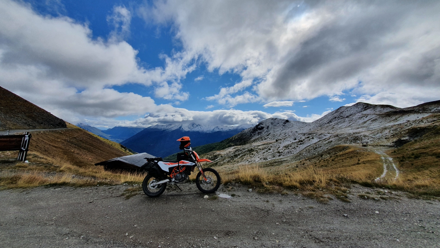
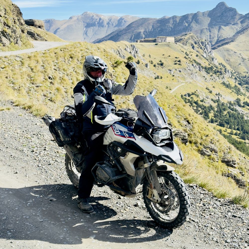
Are you in for a challenge and do you like to leave the smooth roads and go for magnificent views of the Alps? Then this trip is for you!
We recommend only booking this trip, for dates between July and October.
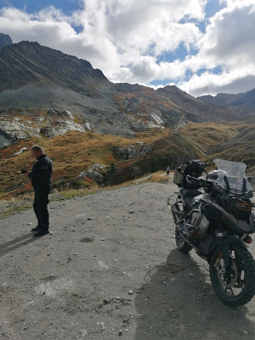
The routes we have set out are suitable for the heavier allroad bikes, without special studded tyres. However, we recommend you to mount allroad tyres. From you as a participant, we expect some experience with riding in the mountains on unpaved roads. An offroad training would be a good preparation for this trip. But of course this trip is also very suitable and challenging for the experienced allroad riders.
The outward journey (first day) and return journey (last day) you will drive on your own initiative.
Information
You will arrive at the hotel in Sauze d`Oulx in Italy on a Sunday. This fixed start day is necessary, so that all unpaved passes are accesible for bikers. You will meet the nice and helpful staff in Sauze d'Oulx. A village in the province of Turin in Piedmont and is located in the Valle di Susa. Sauze d'Oulx is one of the locations where the 2006 Winter Olympics took place. It is situated at an altitude of 1330 metres, which makes it perfect for accessing the various all-terrain slopes that you will be riding from here. The hotel offers free Wi-Fi, hot tub and sun terrace. A breakfast is served daily and in the evening you can have a drink in the hotel bar.
Day route 01: Colle delle Finestre and Assietta Kamstrasse | 165 / 217 km
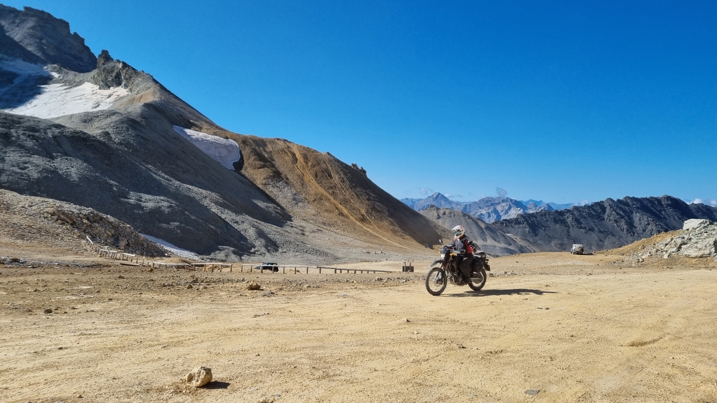
After a nice breakfast you start your bike to ride the first day route. As soon as you leave the village, the first unpaved pass starts: Colle Basset (2.424m): This road is like many pistes you will ride this week for military strategic reasons, as you can see at several fortresses. You will also drive back down this colle at the end of the day. Colle delle Finestre (2,176m): one half asphalt, the other half good gravel. Colle dell`Assietta (2,497m): this is part of the 36km long Assietta Kammstrasse that connects a number of collines. Colle Lauson (2,497m): part of the Assietta Kammstrasse. Colle Bourget (2.299m): part of the Assietta Kammstrasse. A beautiful day to start with and afterwards enjoy the terrace and a delicious shower in your room.
Day route 02: via Colle di Sampeyre and Kammstrasse to Limone Piemonte | 269 / 349 km
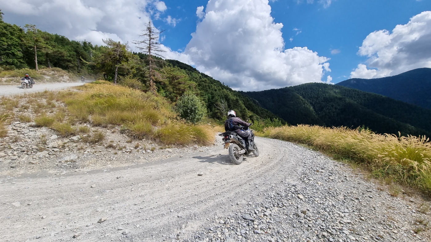
Today, you drive a beautiful route to the 2nd hotel in Italy. Also today you have the possibility to choose between an off road and an on road route. After two nights, you return to the hotel in Sauze d'Oulx. Via the beautiful Col D`Izoard (2,360m - on road) and Col D`agnel (2,744m) you ride into the Cottian Alps of Italy! The first gravel slope is on top of the Colle di Sampeyre (2,284m). There you cross the Varaita Maira Kammstrasse (1,970m). Also called Strada Dei Cannoni, or Road of the Cannons. The part you drive is only a fraction of a 420 km long connecting route that crosses 3 regions (Piemonte, Savoye and Valle D`aosta) and connects 40 fortresses dating from the period between the 17th and 19th centuries. The XL route goes through Italy in its entirety and takes the off-road paths behind it, this is a route for the real adventurers.
After the Varaita Maira, small roads follow one another, asphalted though. Maira Stura Kammstrasse (2,533m): From Canosio you drive along the Maira Stura. Many parts, like the Colle del Preit (2,076m) are asphalted for the most part, but there is still a lot left to steer. Via the Colle Cologna (2,394m) and Colle Margherina (2,420m) you get a nice view of the highest accessible road of the Maira Stura; namely the road to the Colle D`Ancoccia (2,533m). After all this beauty, you drive towards Limone Piemonte, where the next base is located, Fiocco Di Neve in Limone Piemonte. There, after a perhaps dusty day, you can relax in the hotel's beautiful wellness.
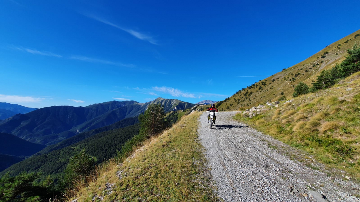
Day route 03: Route du Margaureis and Colle di Tenda | 182 km
Today, you are going to drive the Via del Sale route. This is one of the most famous among the connecting roads between the Piedmont and France. The road dates back to the Middle Ages where it was used to transport salt between Ventimiglia and Limone Piemonte to Turin. The road was widened in many places and many sections were reinforced to make them suitable for military transport between the many fortresses on the border of Italy and France. Now it is a beautiful gravel road that runs along the edges of the Alpes Maritime. A wild landscape with incomparable views of the Alps and the Mediterranean. On this pass, there is a toll of 15 Euros on the ridge section. Then you drive back to the hotel for another dip in the pool.
The passes you will ride today are: Colle di Tenda (1,870m): One of those gravel slopes that has captured the imagination for years. The fortifications on this pass are really worth a stop and photo shoot. Col de Pernante (1,898m): if you keep right on top of this pass you can take a look at the fortress, which was built in 1883 and was fully armed until the First World War. Colla di Sanson (1,694m): Here we drive back into Italy towards Realdo and Trioro. In Trioro, if it is good, there is something to refresh. You can also deviate from the route towards Balcone di Marta where an enormous fortress is hidden under the vegetation. Passo della Guardia (1,508m). Colle del Garezzo (1,795m): first asphalted, then gravel and on the summit it is not so good. This pass has a maximum speed of 20 km/h but that is not very useful with a motorbike. The gradient is about 9% for the 19 km of the pass. After the top, the road is tarmac again, but nice and steep. This road was used during WWII to protect the Italian border against France. Colle delle Selle Vecchie (2,099m). Colle del Lago dei Signori: (2,130m): here is a refugio where you can catch your breath. Colle Malaberghe (2,225 m). Colle de Carsene (2,221m). Colle della Boaria (2,102m). Colle di Perla (2,215m)
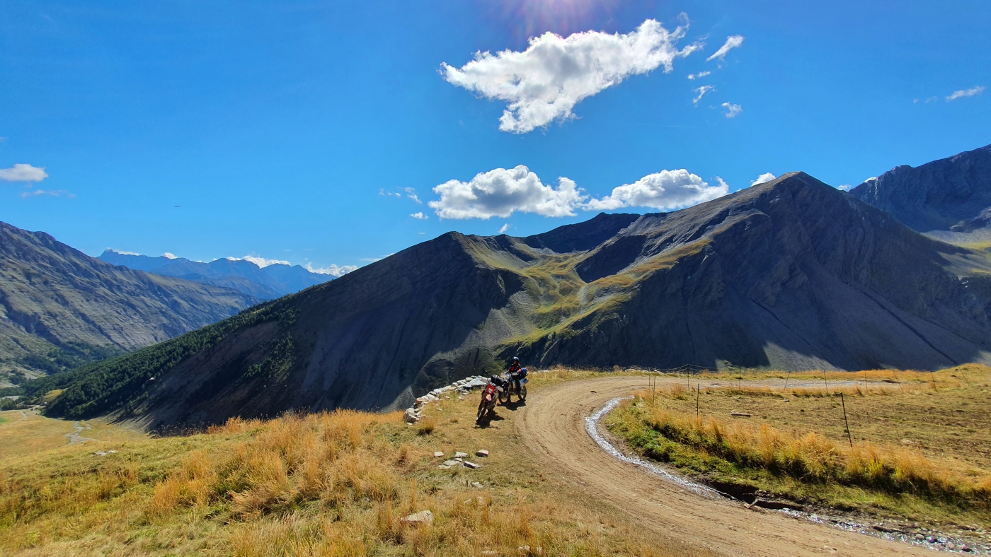
Day route 04: Via Col du Parpaillon back to Sauze d'Oulx | 268 / 329 km
The first part of the route starts off very smoothly, where you can save your strength and gain time for the second part: the Col du Paraillon (2,780m). The Col de Larche (1,996m) connects just like the Col D`Agnel the Cottian Alps with the Alpes Maritime and Cuneo with Barcelonette. This is a reasonably easy and not very steep pass. At Les Gleizolles the route turns left in the direction of Barcelonnette and a few km later in the built-up area of La Condamine Châtelard it turns right in the direction of today's target, the Col du Parpaillon.
In Les Pras the route turns right towards the Col du Parpaillon (2,780m). You approach the pass height via the south side which is still covered with stones in some parts. At 2,780 m lies the famous tunnel; in September this is usually no longer icy but still requires some caution! Because of the underground, the darkness, the length and possible oncoming traffic. This tunnel was built in the 19th century and both have gates that are closed after the summer until deep into the spring.
After the Parpaillon you have two options. Is it enough for today then you enter the waypoint of the hotel and drive back to the hotel. If you feel like more, the Col de Valbelle (2,372m) follows. This Col is steep, narrow, lots of hairpins and if you are lucky also some wading. You finally arrive in Les Chalps, via a ski slope, and then continue down towards Guillestre. From here you have a beautiful gorge road towards Chateau Queyras. You arrive at the hotel where you spent the first two nights.
Day route 05: Monte Jafferau or Col de Sommellier | 106 / 86 km
Saving the best for last, today you have the choice to ride one of the two passes. First up is Monte Jafferau. The Monte Jafferau massif is a mountain of the Cottian Alps topped by a magnificent fortress called Forte Jafferau. This Italian fortress was built between 1896 and 1898 and was used during both World Wars. The fort fired on French positions between 16 and 17 June 1940 and was bombed by the Allies in 1945. You drive all the way here over sometimes tough off-road tracks but it is totally worth it. What an experience, what a view and at 2805 metres.
Col de Sommellier is the highest mountain pass of the Alps with 2993 meters. The pass can only be reached from Bardonecchia via a narrow road through the Valle Rochemolles, which is in good condition up to the Rifugio Scarfiotti, but then follows another 9 km of stony track in which more than 900 altitude metres have to be conquered. The last few legs up to the summit are the toughest because there the road surface becomes more and more hilly, with large stones, deep gullies and extremely tight steep hairpin bends. Once at the top, a deafening silence, an amazing view and the realisation that you have to go down the same way again...
Extra information
Note: There are onroad routes available for all days, so you can choose an Offroad or Onroad route everyday. The routes are delivered as tracks (GPX) and are most suitable for a Garmin Zumo with OSM maps or a Garmin Montana series. CAUTION, a TomTom rider is not suitable for driving Offroad routes.
Note 2: The trip is suitable for all allroad motorbikes, however, the lighter the motorbike the easier it is to ride on unpaved roads. For the heavier motorbikes such as e.g. a BMW GS (Adventure), Triumph Explorer, KTM Adventure, Ducati Multistrada Enduro, a training is highly recommended
Only between July and October
Please note: start date has to be on a Sunday!
|
From: |
||
|
Price based on 8 days |
€ 849,00 |
|
|
Passenger |
€ 849,00 |
|
|
Supplement Single room |
|
The above prices are per person
Please be patient...
We are in the process of confirming your booking.
Je wordt binnen enkele seconden doorgestuurd.